A few of us had kicked around the idea of going cross country skiing on Sunday. That was a good idea…until we had warm temperatures almost every day here for two weeks straight! The snow for cross country skiing is not great at the moment. Couple that with a forecasted high of 13C (55F) and there you go. No cross country skiing!
But there was no way we were wasting this amazing day though! A few of us opted to drive out to Banff National Park to hike through Johnston Canyon and on to the Ink Pots. This is probably one of the most popular trails inside the park for hikers, so this is actually a great time of year to go out there. One advantage of this being a busy trail is that you are less likely to encounter wildlife, but I’m not a huge fan of super crowded trails.
The roads out to Banff are perfectly clear, but as soon as you pull into the parking lot there is snow all over the ground. The safest way to hike there right now is with traction – Yak Trax, MICROspikes or STABILicers. The trail is covered with packed snow and ice the entire way.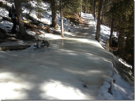 It isn’t a very far hike to the lower and upper falls. The frozen falls are absolutely amazing! We spent quite a bit of time at the upper falls goofing off and taking pictures.
 (at the lower falls)
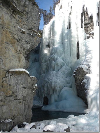 (at the upper falls)
Along the way we also saw some other amazing sights, including a set of falls that we were convinced we could see Cookie Monster in. Can you spot him? 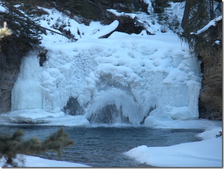
 Eventually the catwalk and trails around the falls end and you continue up and up through the trees on packed snow to the ink pots.
 All of a sudden it opens up and you are in a meadow by the ink pots, surrounded by mountains. Amazing!
 The ink pots are pools of mineral water that stay at a constant 4C year round with quick sand at the bottom of the pool. I found that my pictures weren’t able to fully depict the amazing colours of the pools, but I tried!
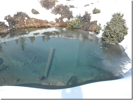 My friend even grabbed a photo of me…taking a photo of my shoes!
 We hung out around the ink pots, eating lunch and taking a ton of pictures. We were the only ones there the entire time we were up there!
 On the way down it was a lot busier around the falls! There were a lot of people out there without traction on their shoes and I have no idea how they were doing it. We even saw a couple of people crawling on all fours to make it up a slope, so I had no idea how they were going to make it! These are the Rocky Mountains and it is early March and there are still winter conditions out there.
That being said, this was a fantastic hike! I don’t know if I’d want to tackle the crowds out here in the summer. The extra bit of solitude and the amazing winter scenery made for an incredible experience. Combine that with sharing the day with a couple of amazing girls and it was a day that will be tough to beat!
7.64 mi with 4,035 feet of elevation gain
~4 hours with plenty of picture taking stops, but not including lunch at the ink pots


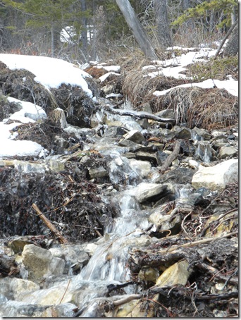
 There were tiny rivers that were starting to flow down the mountain side.
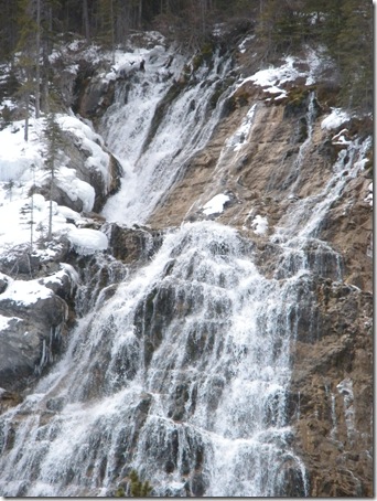
 The water started to roar louder and louder, and soon we saw why. A waterfall!
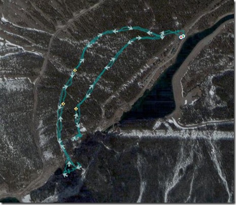
 Unfortunately at this point the trail wasn’t quite so easy to see. The slope increased and there was quite a bit more ice out there. At that point we decided we’d be better off returning to the split in the trail to tackle the easy route to get to the falls. You can see in the picture below, the hard route is on the right side. We were pretty close to the lakes (on the bottom left of the picture)…who knew?!
 The easy route was a good uphill walk in the snow, made easy with some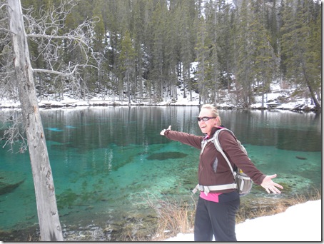

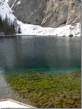
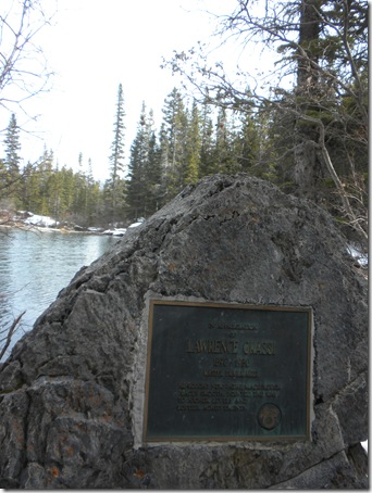 On the way back down we saw several people hiking up in Converse All Star sneakers…dress shoes…you name it! It isn’t nearly as icy out at Grassi Lakes as it was at the Ink Pots, but it still baffles me that people head out to hike the Rocky Mountains in March without proper footwear!